From Maps to Recognition: How Participatory Data Supports the Resolution of Spatial Conflicts in Indonesia
Data Stories - JKPP
In the hills of Lebak District, the Kasepuhan Karang community has long lived in harmony with their land – managing forests, farms, and settlements through generations of customary law. But for years, their way of life was invisible on official maps.
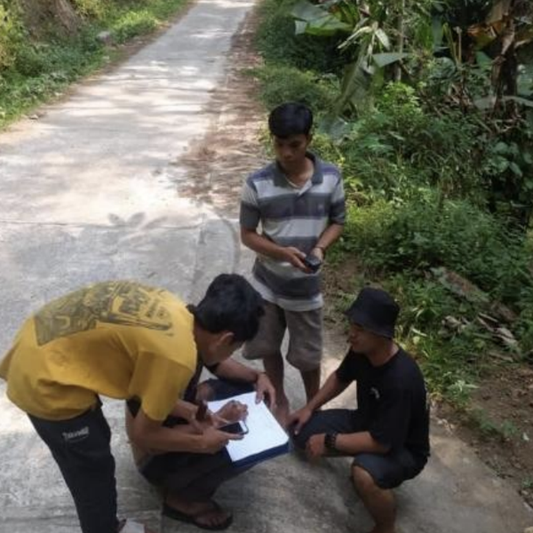
That changed when the community, with support from JKPP and RMI, began a participatory mapping process. Together, they charted their territory: sacred forests (leuweung kolot), rice fields, and village lands. More than just lines on paper, the map became a powerful tool of recognition.
- Posted